Baker Enclave Voting District, Crawford County, Kansas
About
Outline

Summary
| Unique Area Identifier | 584444 |
| Name | Baker Enclave Voting District |
| County | Crawford County |
| State | Kansas |
| Area (square miles) | 0.02 |
| Land Area (square miles) | 0.02 |
| Water Area (square miles) | 0.00 |
| % of Land Area | 100.00 |
| % of Water Area | 0.00 |
| Latitude of the Internal Point | 37.37311490 |
| Longtitude of the Internal Point | -94.68572550 |
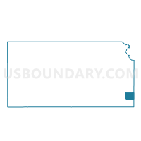
Maps

Graphs
Select a template below for downloading or customizing gragh for Baker Enclave Voting District, Crawford County, Kansas